 Map of the Payette River Loop: North to Eagle (lunch at Chapala Mexican Restaurant) and New Meadows then back via Ontario. (1) Boise (2) Eagle (3) Smith's Ferry (4) Cascade (5) 45th Parallel Koisk (6) Council (7) Boise. ~290 miles.
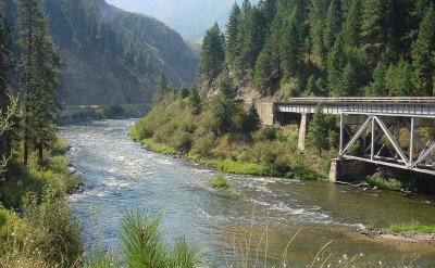 Payette River RR Bridge north of Banks over the Payette River.
 Payette River RR Bridge up a bit closer.
 Payette River RR Bridge from the opposite side.
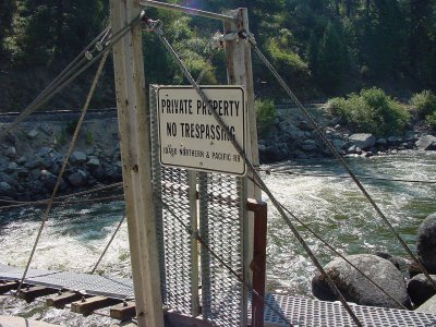 Payette River Suspension Bridge has this Idaho Northern & Pacific RR sign at the entrance to this suspension bridge spanning Payette River south of Smith's Ferry.
 Payette River facing north from the suspension bridge.
 Payette River Suspension Bridge with bro-in-law, Martin, standing in middle.
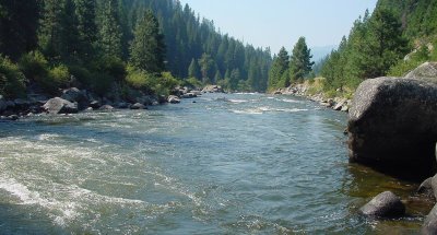 Payette River facing south from the suspension bridge.
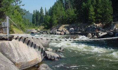 Payette River Suspension Bridge facing north.
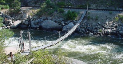 Payette River Suspension Bridge overview.
 Rainbow Bridge spanning North Fork Payette River facing north.
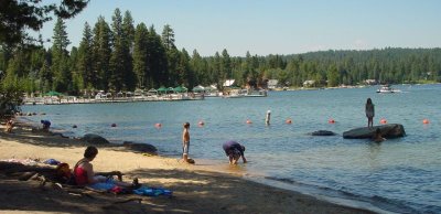 Payette Lake at the southwest part in McCall.
 45th Parallel Kiosk facing east.
 45th Parallel Kiosk interior shot.
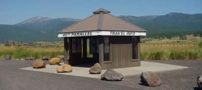 45th Parallel Koisk looking northeast.
 Meadows Valley is right at the 45th Parallel, and just south of Zinn's Hot Springs by the Little Salmon River.
 Meadows Valley is used as a cattle ranch, and here we see the herd grazing and hanging out by the green metal cattle ramp.

